Portfolio
Estuary of the Seine river, aerial photography
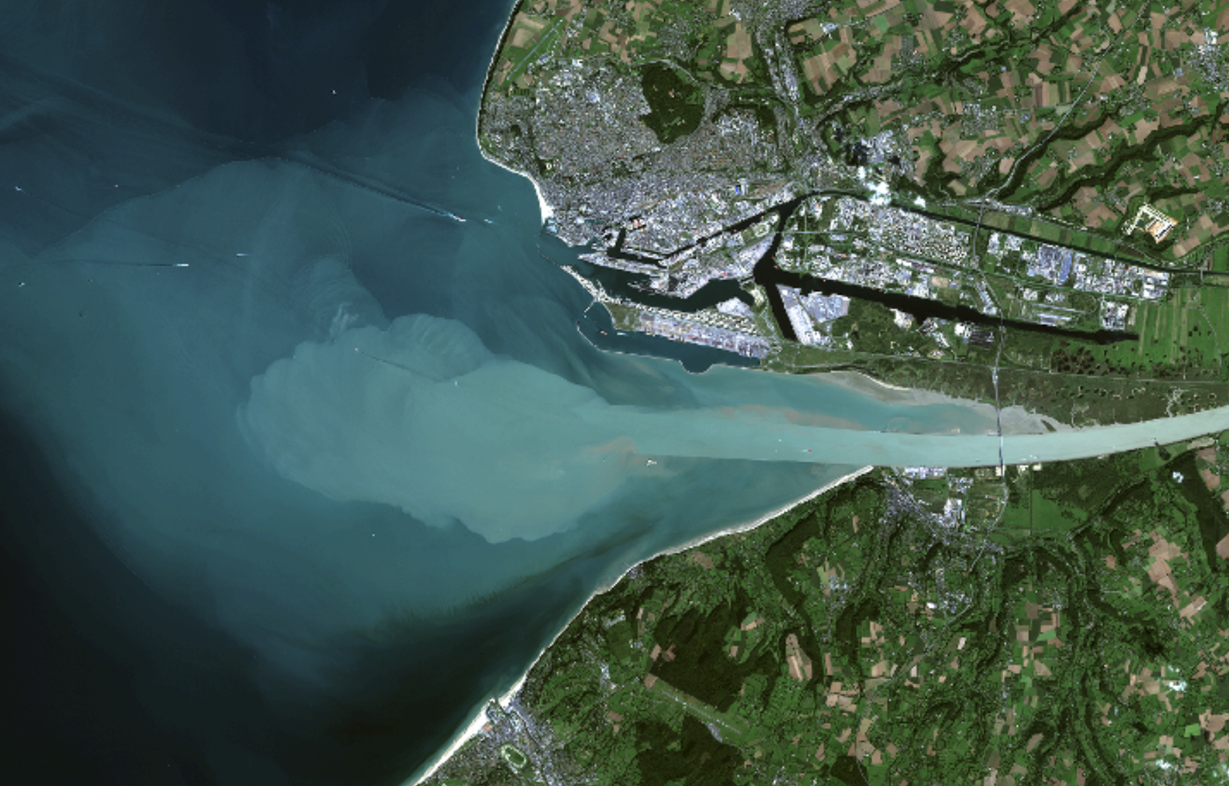
Accessible on Géoportail
On the northern shore, Le Havre and its industrial port.
On the southern shore, Honfleur and its touristic marina.
Sevran, Ile-de-France
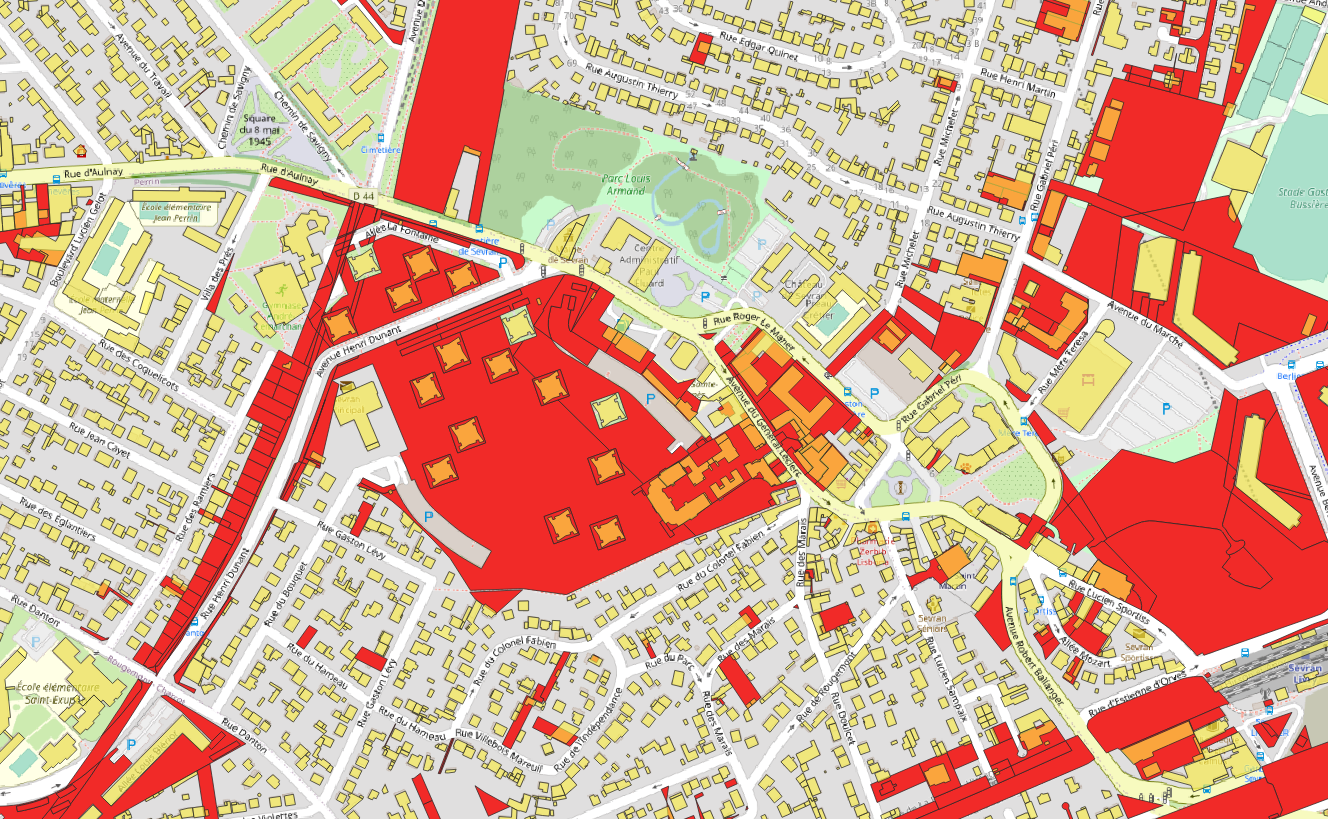
After the Second World War, many dwellings were destroyed, and the population was growing very fast, leading to a housing crisis (already!). The solution adopted by the French government was to build “grands ensembles,” high-rise buildings that were conceived by architects partly influenced by Le Corbusier. Their mark on the urban structure is very distinguishable: a low land footprint and plenty of open space. The actual population density is similar to that of Haussmannian central Paris. Sometimes, they have interesting shapes, as seen here.
Data : Cadastre (land plots), BD Topo (buildings footprint), Openstreetmap
Département de l'Ain, Auvergne-Rhône-Alpes
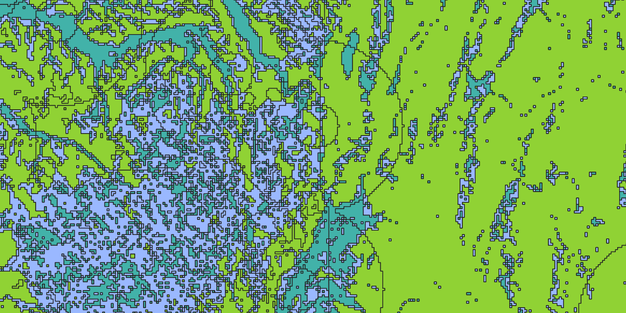
Data : Remontées de nappes (Groundwater)
Plan de prévention des risques inondation de l'Avranchin, Normandy
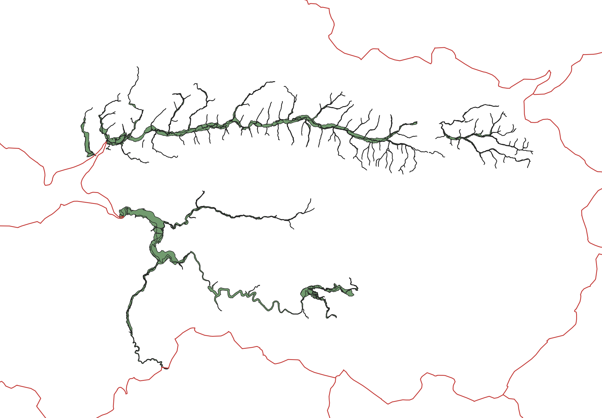
Flood risk prevention plans align with the layout of the river. However, we can observe certain discontinuities that may arise from the political nature of the implementation process.
Data : Géorisques (PPR), Admin-Express (Department limits)